Mile 2295.4, White Pass to mile 2281.6, 13.8 PCT progress miles + 1.8 miles to be explained, 15.6 miles total
Total PCT miles: 728.3
Running total: 831.4
We woke up early to grab our last town meal and get the last of our chores done. Since we overestimated the amount of time it would take to get from Snoqualmie Pass to White Pass, AND we had sent too much food for the White Pass to Trout Lake stretch, we actually had more than enough food to get us to Cascade Locks!! But here’s the thang: who wants to carry 7-8 days worth of food when you only need to carry 4!!?? SO, we organized our food and packed and mailed a resupply box to Trout Lake- pack weight makes a big enough difference that the $$ was worth it!
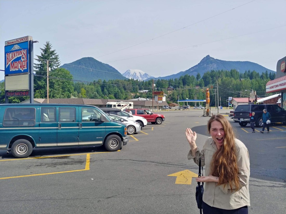
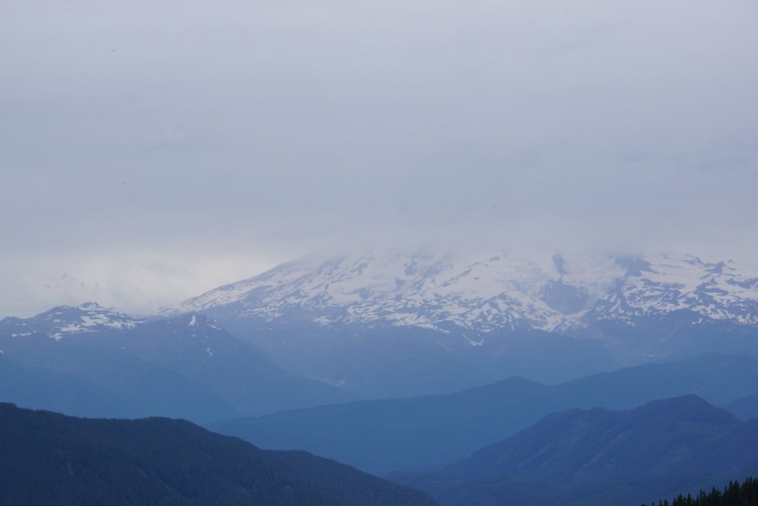
We saw Rainier from town for the first time- we had no idea there was a view!!
One of the lovely staff members at the hotel offered to give us a ride back to the trail, so after filling up our bottles with already filtered water (a trail luxury!) we loaded up her car and off we went!
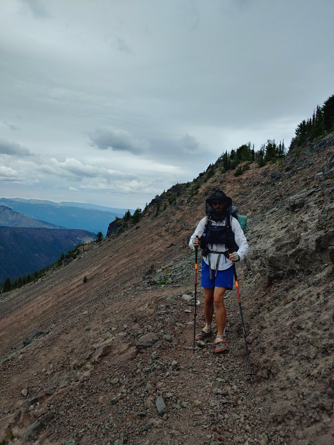
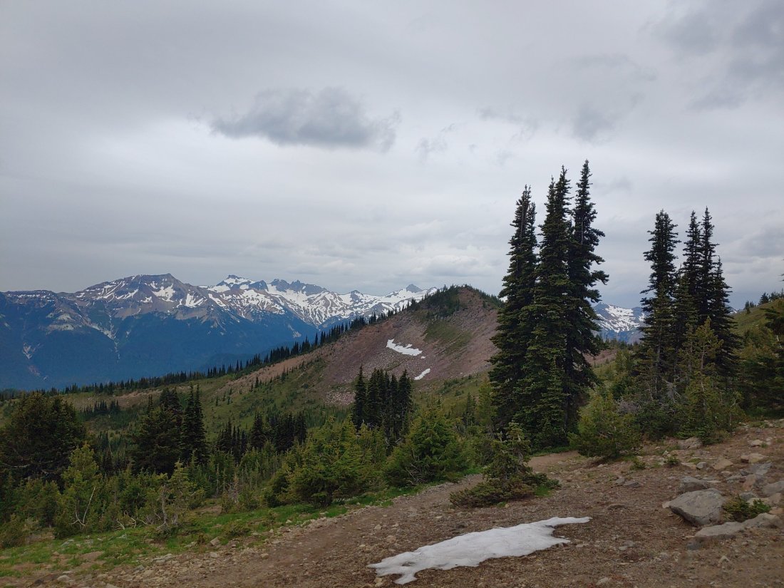
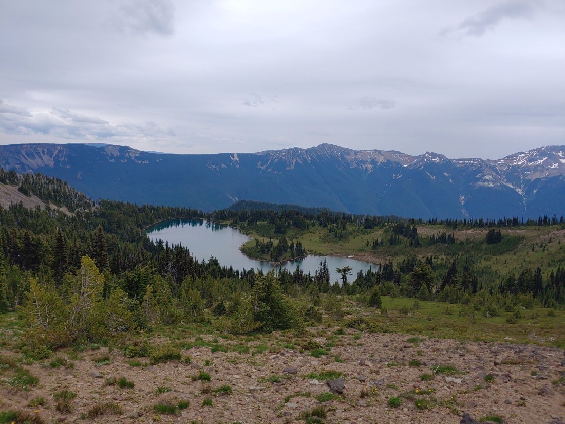
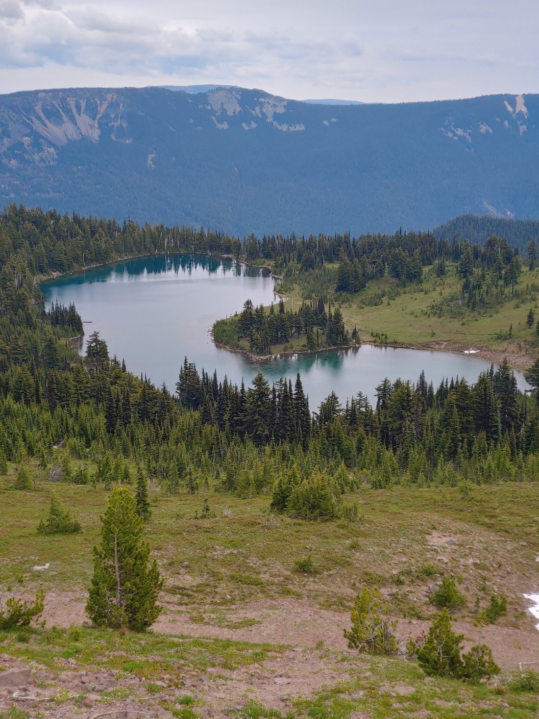
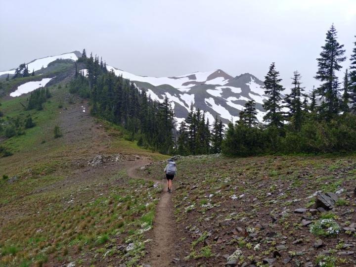
We were back on trail by 1240 with the hopes of crushing 15 miles so we could camp at an apparently pretty baller site before the much acclaimed Goat Rocks Wilderness- the Goat Rocks are supposedly one of the most amazing parts of the trail with incredibly stunning views- one guy (Cougar Bait) even suggested taking a zero day there to fully enjoy it! And Big Momma suggested we take a zero in our tent if it was going to be rainy- the views are that worth it!! Unfortunately we can’t afford many random zero days anymore- we already don’t know if we will be able to finish the entire trail this year, but we are still gonna try! So, cloudy or not, amazing day or not, we agreed we couldn’t take another zero day there.
(…we should have taken two…)
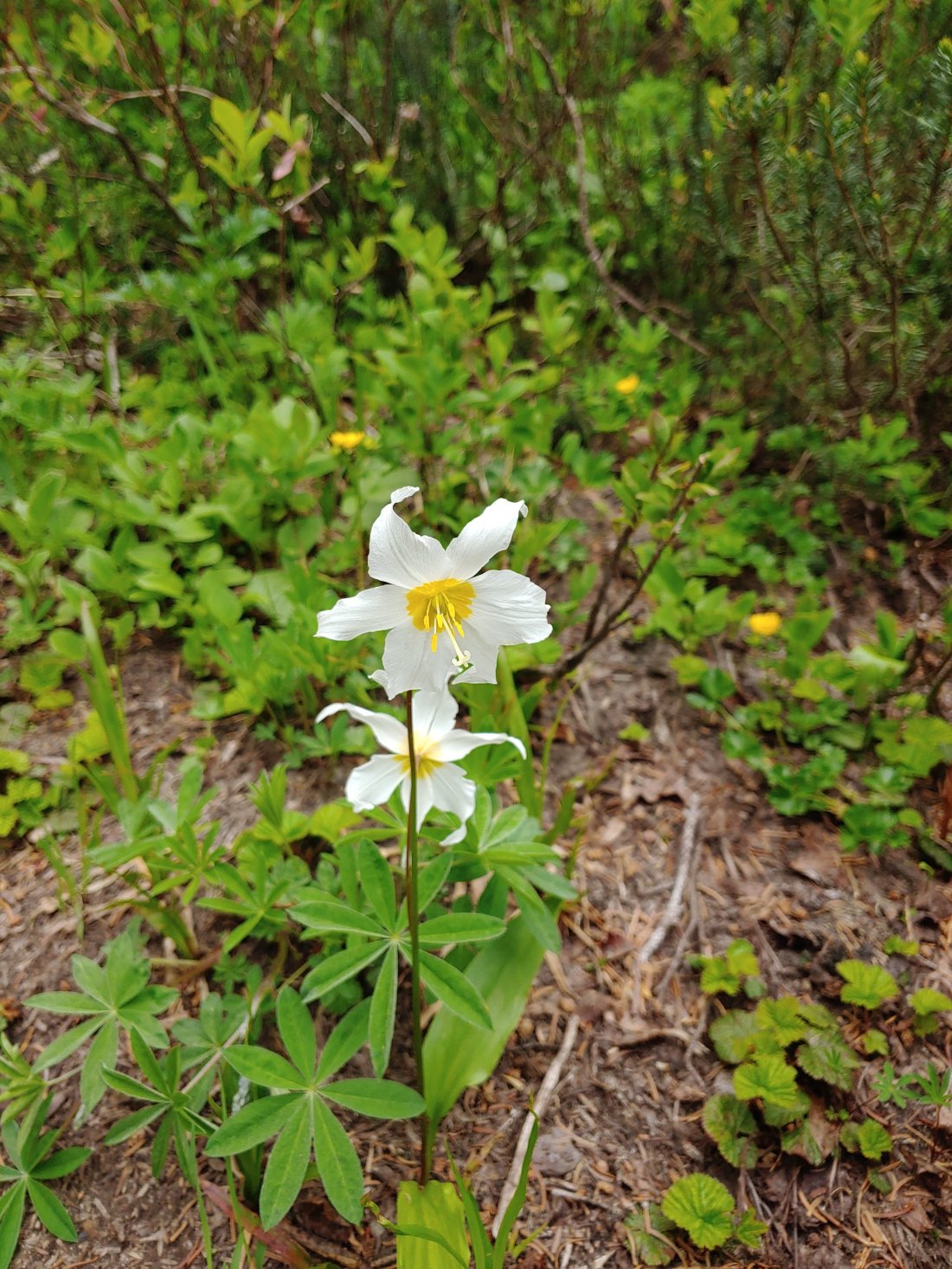
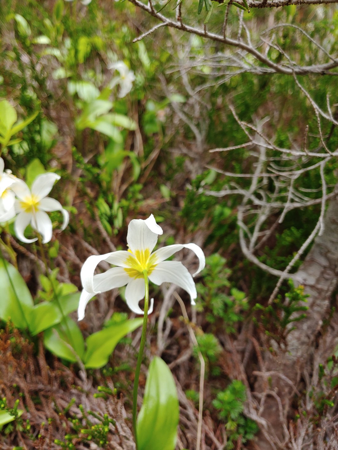
The avalanche lilies! There hasn’t been rain and now the petals look like pinwheels!!
On the decent from a 2000 foot climb I started to feel “bleh” about the hiking- I wasn’t quite crabby, but I wasn’t enjoying the hiking, so I told Matt I only wanted to go 10 miles instead. He was cool with that, but when we hit that 10 mile mark we took a break at a nice tentsite, had a snack, and decided to keep going. Our motto is, “the more we do today, the less we have to do tomorrow.” – it usually works pretty well to push us a few extra miles!
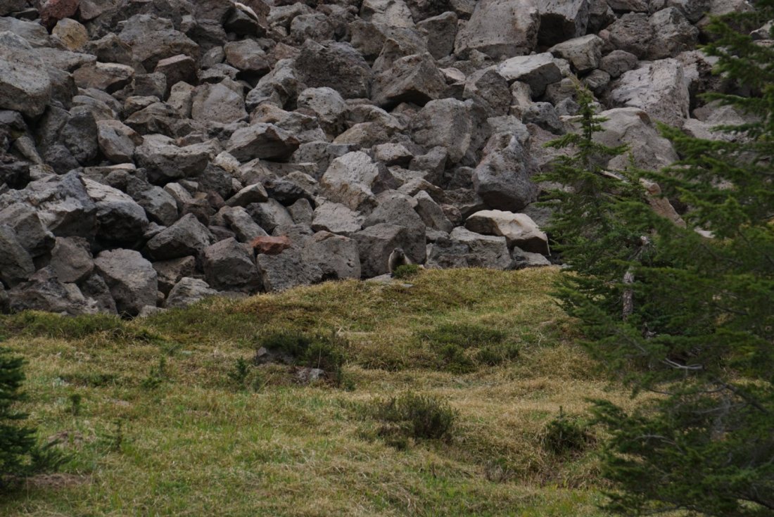
I spy a marmot!
1.3 miles from our intended campsite we came across a really nice site seemingly protected by the wind and rain- oh, did I mention it had started to rain?? Ugh. Chilly and wet, we pushed forward towards that amazing site just a little farther ahead.
(…we should have stayed…)
Happy flying pig??
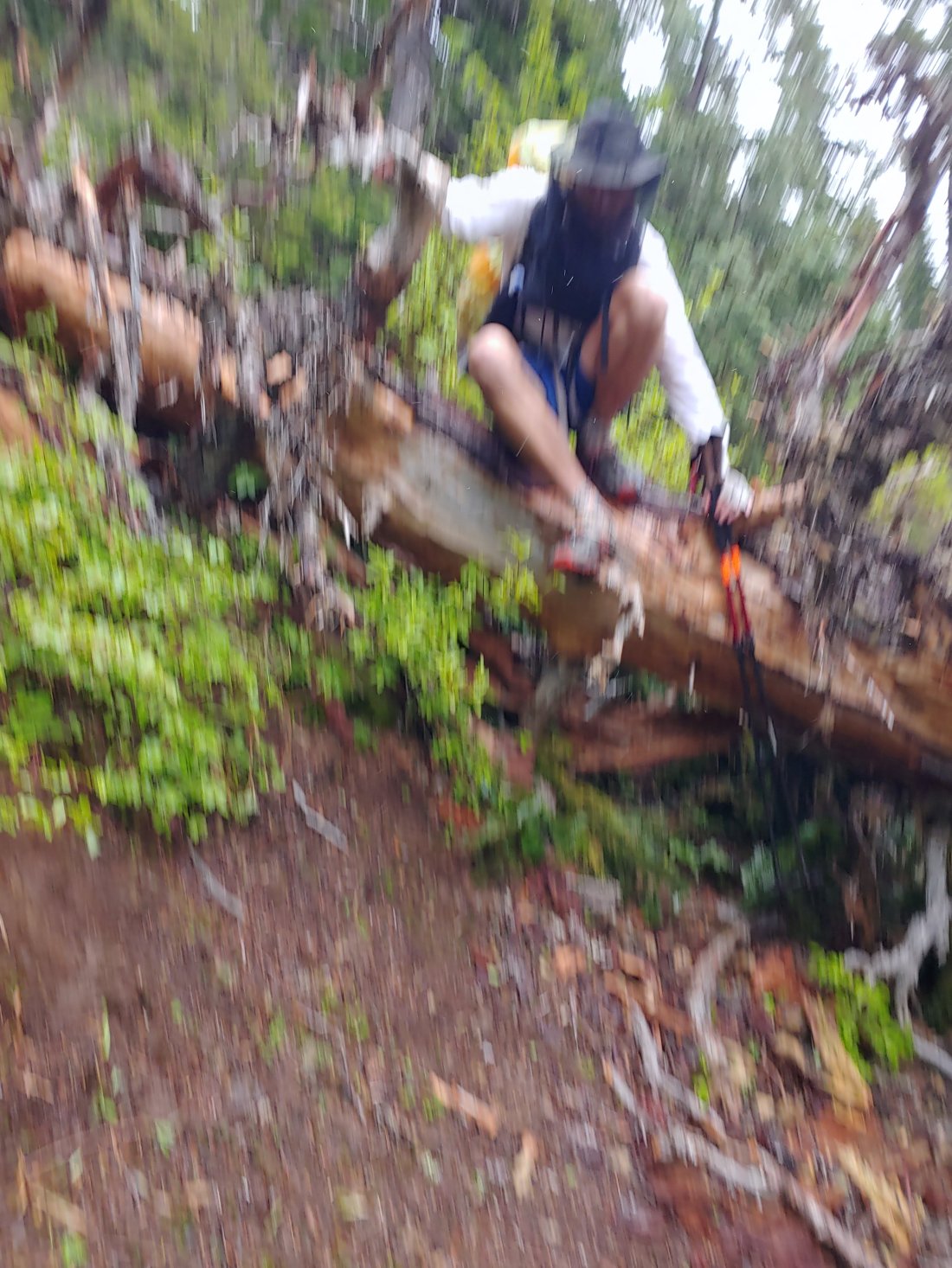
Not long after we came across a big-ass tree blocking the trail- it was one of the bigger trees we have had to climb over and it took a minute to figure out the best method. Shortly after, the trail turned up above the main tree line- we were exposed, and it was wet, windy, and cold.
Just under 1/2mile to go to the campsite, we ran into a NoBo section hiker named Aaron. He asked about potential campsites nearby, and we told him about the great site we had passed just under a mile ago. We asked about the site we were aiming for and he pointed it out to us- it was amongst a small pocket of trees fairly high above us, and he said that there were quite a few people already camped out there. He guessed that there would be room for us but it would be tight. He had passed it hoping for a lower, less-windy site.
Matt and I looked at the site- while there were some trees, it did look exposed. It was also getting colder, wetter, and windier- the makings of a truly terrible night at high elevation. We decided to turn around and head back to the site we had told Aaron about, taking our chances that nobody else had showed up to claim the space in the meantime.
Aaron was taking his time, so he let Matt and me pass so we could quickly backtrack our steps to that site. Matt was frustrated and mad that we passed up the spot to begin with and we were now backtracking and I was anxious that the spot would be taken by the time we got there.
As we came across that big-ass tree again, we realized that it was a little more challenging to climb going north than it had been going south. Matt went first and crossed successfully. I struggled. There was only one small broken branch to step on, and it didn’t look like it would hold me. I decided to try and climb up and around the tree, but as I grabbed a different branch to help me maneuver up the steep, wet, loose dirt, the branch snapped and sent me sliding back down- thankfully I hadn’t made much progress so a. the slip wasn’t far and b. I didn’t lose much progress.
I did, however, give Aaron a little heart attack as he turned the corner to hear the snap and watch the fall. Sorry, dude!! He suggested I give the pack to him and he would pass it to Jaws so I could try and climb over without the added weight- bloody brilliant! I took the pack off, handed it to Matt, hopped the big-ass tree, and we were on our way.
My prayers were answered: the site was still empty! And except for two piles of old mountain lion pooh, it was clear for two tents! (Sometimes you gotta pick your downfall: a definitely cold and miserable night ahead, IF there is a site still available up above OR a nice protected site with the small risk that a mountain lion will come visit three humans…)
We threw up our tents as quickly as possible and sought shelter. Aaron’s stove doesn’t work in the wind so he was going to cold soak, but Matt and I offered to heat water for him. In return he offered us advice for the next day: “go high at the first junction, low at the second.”
The next day we had two options: either follow the PCT stock trail, which is generally less steep and less difficult than the hiker trail, OR take the PCT alternative trail, “The Knife’s Edge,” which was apparently super sketchy for those afraid of heights.
In the days leading up to this leg of the journey we had heard a ton about Knife’s Edge: Scratch apparently had an anxiety attack while climbing up, and Gourmet said it was quite nerve-racking- and he isn’t even afraid of heights! Then an older, local couple overheard that we were heading into Goats Rock/Knife’s Edge and they were concerned with us doing it in rain. On the ride to the trailhead our driver told us that Search and Rescue recently had to recover an injured hiker who had fallen from Knife’s Edge. THEN we ran into a NoBo hiker who said, “you got one hell of a climb coming up: steep and dangerous!”- so I asked the next NoBO hiker his thoughts on Knife’s Edge- he, too, said it was sketchy. Awesome. I don’t mind heights, but Matt doesn’t like exposed heights and his anxiety always makes me anxious!!!!
So, why take Knife’s Edge vs. the stock trail? Apparently the stock trail had some super sketchy, steep, snowy traverses- Aaron attempted it but turned back and took the alternate trail. We decided Knife’s Edge was safer- but, whatttt were we getting into?!?