Ready? (Your head might start spinning…I know ours did!)
We have approximately 136 miles left in the desert section of the PCT. We also have 11 more days until Matt’s jaw gets unwired. We have moves to make, and time’s a- tickin- we have NO idea when the winter season will start in Washington and Canada, but ideally we would have finished the trail before October. That, now, is probably not possible, so we can’t afford to waste any more time!! We need to get moving, but we can’t go TOO far, since we need to be back in Bakersfield on 6/25 to get the wires removed- that means we need to be somewhere with transportation, which is lacking in the upcoming section!
When we plan our food carries and zero days, we look at the next “exits” from the trail that are either in towns or within hitchhiking distance from a town. Generally our food carries/distance between towns/civilization have been 80-100 miles or so. The last 136 miles of the desert is broken down into two very unequal sections: Walker Pass at mile 652 and Kennedy Meadows at mile 702. We are currently at mile 566.
Had we left Tehachapi on May 28 as we had planned pre-faceplant, we would have hiked the 5 days to Walker Pass and hitchhiked to either Kernville or Ridgecrest to resupply for the last 50 miles to Kennedy Meadows. We would have celebrated Big Momma’s 20th birthday with our trail fam in Lake Isabella before taking about 2.5 days to hike to KM- a light food carry! Yay!! At Kennedy Meadows we would have had a well-deserved feast at Grumpy Bears Retreat, where we would have also received our bear cannisters and ice axes sent to us by Jesse. We would then have hiked the first 50 miles in the Sierra to the first “exit,” Lone Pine, where we would have had to make a decision: continue in the Sierra or flip up north somewhere…
BUT, that isn’t how shit went down, clearly.
SO, our new plan:
On Thursday I posted on the “Tehachapi Trail Angel” page on Facebook to see if somebody would be willing to drive us to Walker Pass on Saturday. A lovely lady who studied nursing not too far from where Matthew worked in NJ offered to pick us up at 0630 Saturday morning and drive us an hour to the trailhead!! From Walker Pass, we will hike the 50 miles north to Kennedy Meadows. Since we don’t know how Matt will feel hiking long days on a liquid diet and we will be hiking slower than we had been hiking previously, we figured it would be better to hike 3 days vs. 5-6 days.
If Matt feels okay, we will then beg somebody to drive us out of Kennedy Meadows and back to Walker Pass and hike south back to Tehachapi. Rumor has it transportation is very limited in Kennedy Meadows, so we might need to beg and pay somebody to drive us to Ridgecrest, where we will then need to hitchhike back to Walker Pass- this is another reason we didn’t want to end here next week- with Matt’s wire removal scheduled on 6/25, we didn’t want to risk getting stuck in KM without transportation and miss the appointment!! (If Matt doesn’t feel well, we will beg for a ride to Ridgecrest, rent a car to drive to Bakersfield, hang out for a few days before those damn wires come out, then make up those 80-something missed miles AFTER completing the rest of the trail…)
With the anticipation that Matt is a badass and can bang out these miles on a liquid diet through the now hot desert with limited water (ugh), I am hoping to get back to Walker Pass sometime on Tuesday, and we can take 5-6 days to hike back down to Tehachapi. The sucky part about this stretch: long water carries and NO outlets if we need to bail out! We have to be in it 100%!
If all goes as planned, on Monday we will take a bus from Tehachapi to Bakersfield and get those damn wires out on Tuesday! From there we will rent a car and drive to…..SAN DIEGO!!!! We are hoping & praying that Matt can schedule an appointment with our dentist and get any dental work he needs done before we get back on trail again. We will also be able to pick up our ice axes at Jesse’s AND pick up Matt’s solid food that I had gotten from Wit’s End today and sent to a post office in San Diego. (God, that was another headache!! We had food and our travel duffle bag that I didn’t want to throw out, but I didn’t know where to send it! {We bought the duffle to fly to and from NJ- people dont check their packs for fear that they will rip or tear in transit, but our hiking poles and stove can’t be carried on!!} While at the post office I ran into a local Tehachapi man that I had met weeks ago and asked him to store our bag and food at his house for the week- he loves helping hikers with rides and didn’t hesitate to agree to let us store our stuff in his house, but then I got nervous and changed my mind, stuffed the duffle and food into a box, and sent it all to SD.)
From San Diego, we have a one-way flight booked to Seattle, Washington, where we will somehow get to Snoqualmie Pass and hike south back to Kennedy Meadows.
Why the flip? Numerous reasons. Many people are chosing to flip this season due to the high snow levels in the Sierra- people have been traveling up to the northern terminus and hiking southbound, traveling to Seattle or Portland and hiking southbound, OR going somewhere in NorCal and either hiking north or south! Just a few weeks ago when we were originally thinking of our next move after Kennedy Meadows, all options sucked: there was snow everywhere, and it was still snowing in NorCal and Oregon! My vote had been to go to Washington, as they are anticipating a very bad fire season this year and getting there earlier than later would give us a better chance of completing the entire trail.
Then, while Matt and I were in NJ, we received an update from Silver:
Lone Pine to Whitney report:
-65F by day, 45F by night, dry air, absolutely gorgeous.
-Mountains are as beautiful as anything in the god damn world.
-Snowmelt rivers at least every 2 miles. No water carries at all.
-There is 100% snow cover above 10,000′. Which is most of this stretch… and the vaaaaast majority of the next 300 miles.
-Water crossings are not terrible IN THIS SECTION. But be very careful of the logs, they are almost under water.
-It’s warm enough that the snow is soft, slippery, and a constant posthole risk. Even before dawn! By afternoon it’s awful. It’s just so not fun.
-snow is melty and wet. You need waterproof boots or socks, otherwise it’s a daylight frostbite risk.
-rangers from Crabtree say this is the most dangerous they’ve seen the Sierras in their 28 years here. Particularly Forester, Kearsarge, and the water crossings.
-they recommend a 3 week delay.
-the avalanche risk is HIGH for Forester and Whitney. You basically need to be up and over before the sun hits them . Rangers are recommending you leave for Whitney at midnight, slackpacking, and do not dawdle at the summit. It’s evac city by 7am.
-I was averaging 1.3mph. AND could only hike about 8 hours before being totally exhausted. So LP to Indep would be a probable 6 day carry… esp. since you’d need to camp at the base of Forester and be up it by about dawn.
– rangers say that the water crossings from Whitney to Kearsarge are insanely dangerous. They are crossing on snow bridges 1-2 miles upstream, but even those are failing.
– rangers say: don’t be fooled by other peoples instagram. it was easier 1-2 weeks ago. Now it’s much much more dangerous.
– I saw an avalanche. So. TIME TO SOBO!
That sealed the deal for us. Up to Washington we go!!
Our trail family has unfortunately split up: Big Momma and Arc have decided to flip from Lone Pine to Seattle- they will take a few days off in Seattle before hitting the trail again, but they will still be far ahead of us. Silver is also in the process of flipping- he is on his way to the northern terminus and plans to hike southbound and end his thru-hike on the top of Mt. Whitney. Woodpecker and Yaara are trekking through the Sierra with Raspberry, and possibly flipping after getting to Bishop…TBD. She-Wee has decided to leave the trail for now: his heart is taking him in a new direction. We are all hopeful that our paths will cross with his again in the near future!
I need to reach out to Watercolor, Joe Dirt, Soundtrack, Munchies, Posh David, Hoops, and other pals to see what they have decided. They are all somewhere between here and Canada!! Caleb and Ellie, our friends from day 2, were delayed for a few weeks with an injury in Big Bear and have been slowly making progress towards us- with all the flipping we are doing I’m sure we will see them somewhere!!
Today while running errands I saw a lot of thru hikers but didn’t recognize ANYONE…it was kinda lonely! I almost felt like I didn’t belong… 😦
Matt spent the day resting- he has felt shitty since Wednesday night and is slowly getting better. I felt like shit yesterday but thankfully feel better today!
This definitely isn’t the “thru hike” we imagined when we decided to walk from Mexico to Canada, but this is OUR thru-hike, and except for Day 45 Continued (and the subsequent off-trail days), I have loved every step we have taken… I can’t wait to get back on trail tomorrow!!
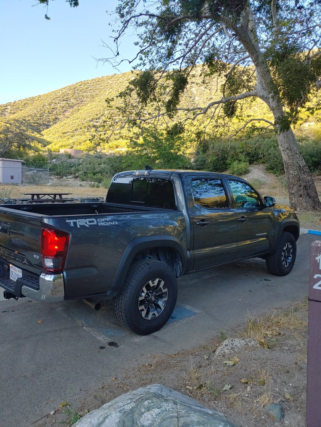
Our rental car from LAX to Tehachapi
Massively impressed by your gritty determination!! Especially love the attitude that this is YOUR thru-hike and hope you can continue to embrace the adventure. May the journey be delightful and may Matt’s healing be swift!

you guys are rock stars!!!! missed the blog – glad you and it are back!
LikeLike
Massively impressed by your gritty determination!! Especially love the attitude that this is YOUR thru-hike and hope you can continue to embrace the adventure. May the journey be delightful and may Matt’s healing be swift!
LikeLike